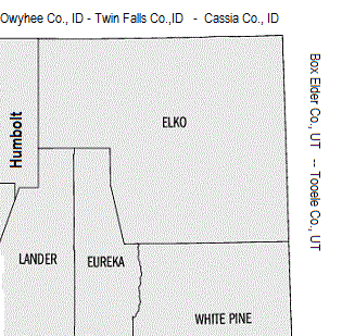
Welcome to Elko County, Nevada
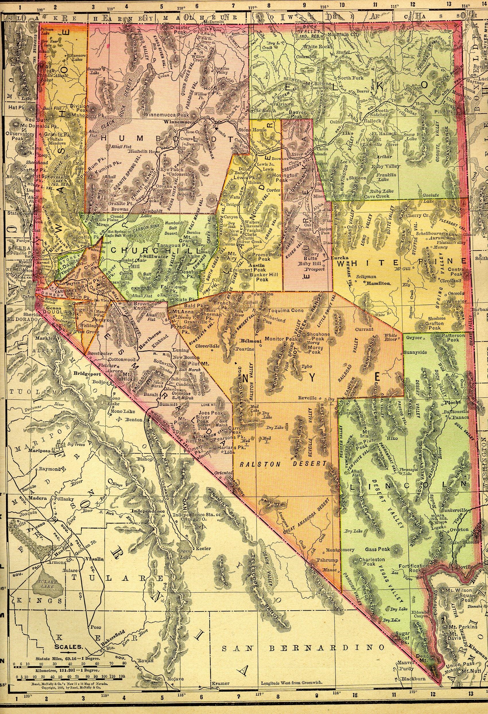
Elko County was established in 1869 from Lander County; the name was taken from the name of the county seat, Elko. Elko County is the fourth-largest county in the contiguous United States ranking lower when the boroughs of Alaska are included. It is also one of only 10 counties in the U.S. with more than 10,000 square miles (25,900 km2) of area.1
Incorporated towns include Carlin, Elko, Wells and West Wendover. Other places include Arthur, Contact, Deeth, Duck Valley, Jackpot, Jarbidge, Jiggs, Lamoille, Lee, Midas, Montello, Mountain City, Oasis, Owyhee, Shantytown, Spring Creek, Tuscarora (site) and Wilkins (site).
The California '49ers passed through this county on the California Trail, the trail hitting the Humbolt River near the present-day down of Wells. The Hastings Cutoff rejoined the California Trail about seven miles west of present day Elko.2 (The California Trail map)
"Elko was the end of the tracks laid from the west by Central Pacific Railroad in 1868. When CPRR tracklayers moved on east to meet construction crews of the Union Pacific Railroad at Promontory, Utah Territory, they left a small tent town on the banks of the Humboldt River."3
The Duck Valley Indian Reservation is partly in this county and this county is home to the South Fork Indian Reservation. A portion of Humboldt Toiyabe National Forest and the Ruby Lake National Wildlife Refuge are also in Elko County.
Census Records
Photos
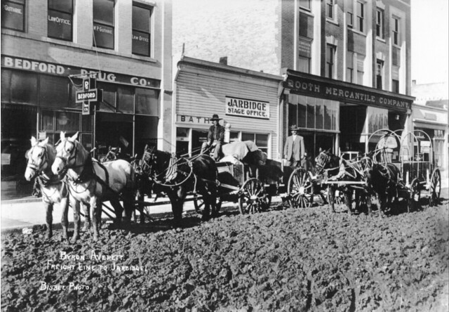
"Byron Averett’s freight line to Jarbidge." - Twin Falls Public Library on flickr, Clarence E,
Bisbee ccollection.
roughly 10-12 m. south of the Nevada/Idaho state line. "The community is usually and most easily accessed using a motor vehicle by way of Three Creek Road, which originates along U.S. Route 93 in Rogerson, Twin Falls County, Idaho" - wikipedia
"Gold discoveries in 1909 lead to wild speculation and exaggerated stories. A rush through the snow in March 1910 due to these reports was followed by a careless and swift exodus by May, only to have many of these same gold seekers to return in another inbound rush by June, when snow melt uncovered much ore bearing ground. The tent camp which had crowded the banks of the Jarbidge River in the narrow canyon for over three miles was soon replaced by solid buildings of log and lumber. Businesses included the traditional saloons, restaurants, hotels, boarding houses, stables, etcetera. But due to the harsh winters, many miners and prospectors left Jarbidge by the onset of winter and only a few stalwart individuals stayed on through the winter." - David A. Wright, ghosttowns.com
Sources
1
Wikipedia, retreived December 2, 2014
2California Trail at Wikipedia , retreived December 2, 2014
3 Howard Hickson's Histories

The background tartan in the footer logo is the Nevada State Tartan, adopted in 2001.
The American History and Genealogy Project (AHGP), an unincorporated not-for-profit network of independent sites devoted to History & Genealogy, and covering North American Countries and Territories. For more information about our group, including how you can join us, please see our About page.
Webspace for this site is generously provided by Genealogy Village and Access Genealogy
Copyright © 2014 - Sharon McConnel. All Rights Reserved.